
And maybe I should start drawing maps of Poland? – I asked myself after next series of “achs” and “ochs” following watching the They Draw and Travel website which I visit almost every day. And there it is. My first illustrated map.
At the aforementioned website the draftsmen from the whole world place their illustrated maps designed according to their own ideas. There are maps of walking with a dog, the best ice-cream parlour, shops, monuments routes or the casual impressions regarding town / region / state. Many of them are drawn by hand in all possible styles – searcher offers searching according to style: fun & funky, sweet & cute, fresh & hip (these are my favourite ones) or traditional & classic.
Watching these maps is like watching someone’s notes from journey – they are personal and surprising. And very inspiring what I’m willing to prove at the example referred to below.
One day I turned the computer on and started to draw first map. I had to recollect the rules of graphic program – it’s not my tool of work, it used to be, however, but in a very limited scope and very long ago. I decided to work on Słupsk – because the text about Słupsk is the most popular on this blog. The final effect (without unnecessary comments) I present below, although it’s far from being perfect.
Because each project must be finished someday and sent into space to start something new.
For example – take a trip and draw it?

Alternative version (find differences ![]()

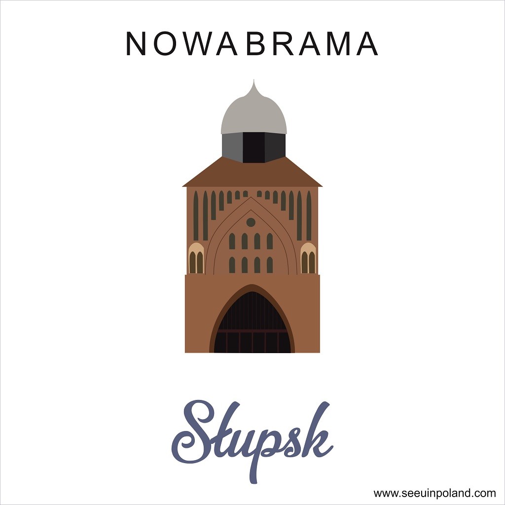
And a few details:


The next one shall be Lublin I suppose ![]()


